


Ushahidi: Crisis Reporting & Community Mapping Platform
Civic Tech • Crisis Response • Mapping
Initial Conversation
The idea behind Ushahidi was to create a powerful civic technology platform that enables communities to report incidents, track crises, and share real-time information during emergencies and social events.
The client wanted a secure, scalable, and easy-to-use reporting system that could empower individuals, improve transparency, and support faster, data-driven decision-making for governments, NGOs, and community organizations worldwide.
Location:Global

Project Overview
Ushahidi is a global crisis reporting and community mapping platform that transforms crowdsourced data into real-time, interactive visual insights.
By combining geolocation technology, live reporting, and dynamic mapping, the platform helps communities monitor public safety, track crisis events, and respond more effectively — strengthening transparency, accountability, and community resilience at a global scale.
Our Approach
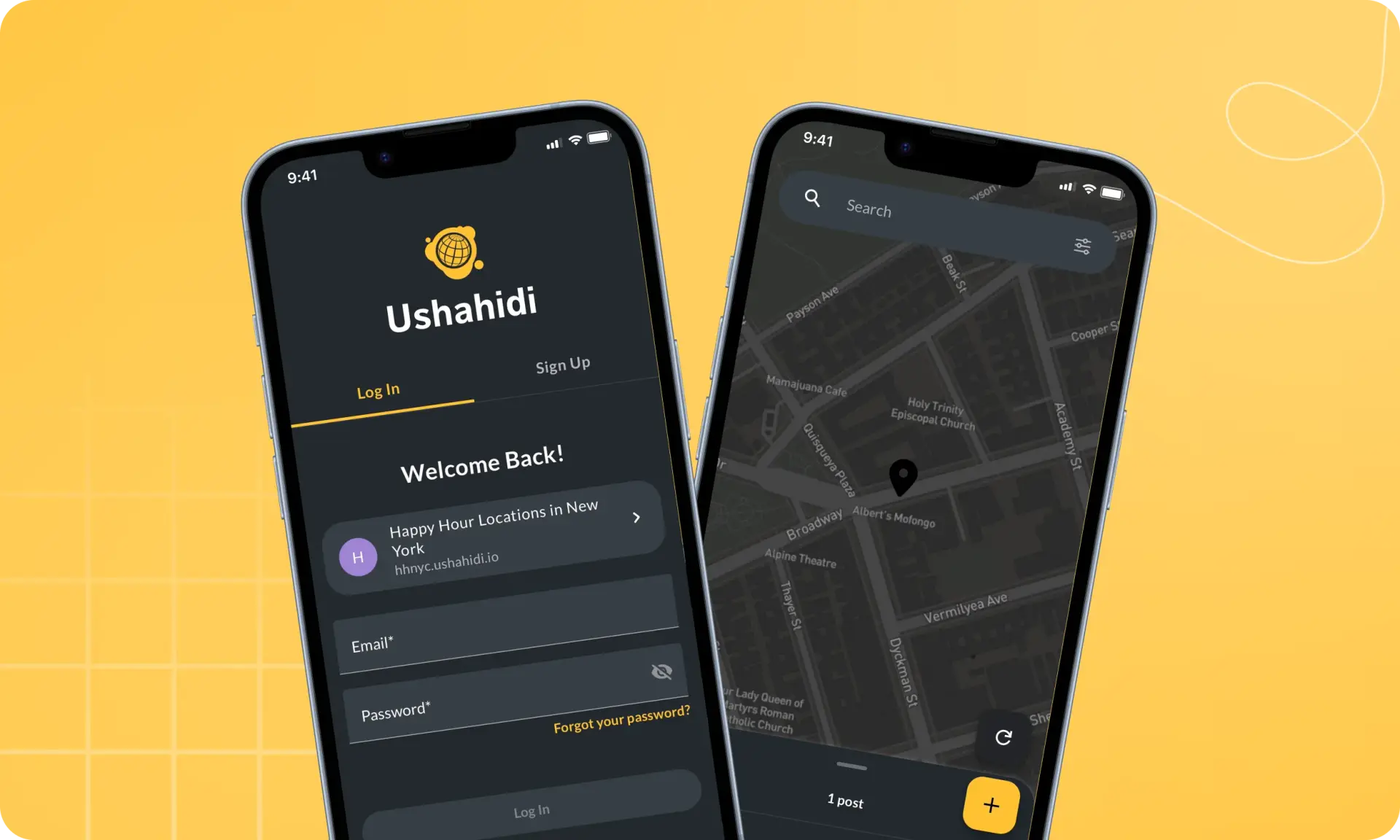
We started by designing a fast, accessible, and stress-friendly reporting experience, ensuring users can submit critical information quickly during emergencies.
Our team built a robust, scalable backend capable of processing high volumes of real-time submissions while maintaining data accuracy, privacy protection, and misinformation prevention.
Finally, we integrated interactive mapping, geolocation, and real-time visualization tools to transform raw community data into actionable insights, empowering organizations and communities to make faster, informed, and impactful decisions.
Our Challenge
Building Ushahidi required developing a resilient and scalable incident-reporting platform capable of handling high volumes of real-time community submissions during crises.
The key challenge was ensuring data accuracy, preventing misinformation, protecting user privacy, and delivering reliable map-based visualization under high-traffic conditions.
We also needed to optimize reporting workflows for speed, usability, and accessibility so users could submit critical information quickly during high-stress situations.
The Process
- 01
Crisis Response Research & Planning
We analyzed emergency reporting workflows, public safety needs, and community data-sharing models to define platform requirements.
- 02
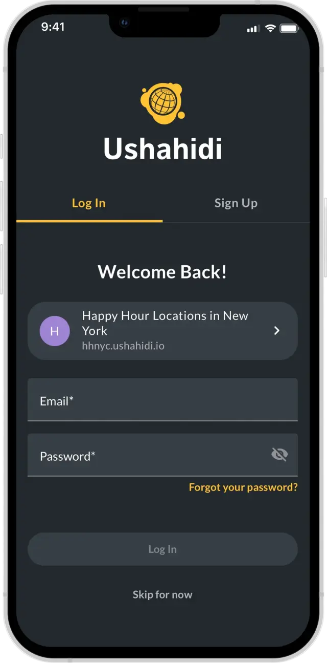
UX/UI Design for Fast Incident Reporting
Designed a clean, minimal, and accessible interface optimized for fast reporting and high-stress environments.
- 03
Real-Time Reporting System Development
Implemented secure report submission, media uploads, geolocation tagging, and validation mechanisms.
- 04
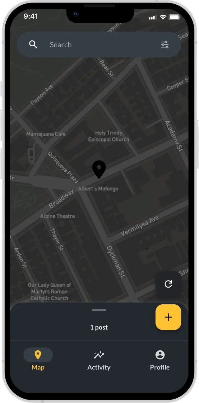
Interactive Mapping & Visualization
Built a dynamic live map to display geo-tagged incidents and community updates in real time.
- 05
Performance Optimization & Security
Enhanced system scalability, data encryption, privacy protection, and platform stability.
- 06
Launch & Continuous Improvement
Expanded alert systems, reporting tools, and mapping features based on community feedback and evolving crisis needs.
Project Results

Improved crisis response through real-time community reporting
Enhanced public awareness with live incident mapping
Increased transparency through open civic data
Strengthened trust through privacy-first reporting tools
Supported large-scale emergency response coordination
Empowered communities with actionable safety insights
Reduced misinformation through structured reporting workflows
Positioned Ushahidi as a scalable civic technology platform
Technology Stack
- Swift

- Figma

- IOS

- Firebase
